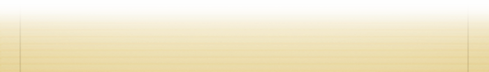


You will get to this page:
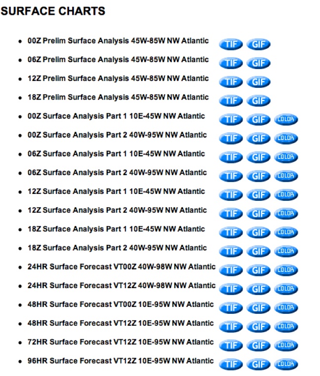
There is no excuse today for choosing to sail in bad weather. Your wife will feel much better about going to sea if she knows that you will be sailing in good weather. You can learn to read the NOAA Marine radiofax charts, at home and at sea. You can position the boat to always be in the best winds. The radiofax charts forecast the location of winds and waves four days ahead. In four days you can travel 400 miles and move the boat towards good winds and away from gales.
In the Caribbean sea, winds are always from the East. In the North Atlantic wind direction depends on the position of the Bermuda high, and low pressure fronts coming from the West. In the Spring there is almost no chance of a storm South of Hatteras, and the biggest winds come from fronts as they sweep from West to East. These fronts are usually forecast four days ahead. You can jump on the back of a front and take the SW -NW winds towards Bermuda. For a few days you will sail well until the Bermuda high settles back in to produce light winds.
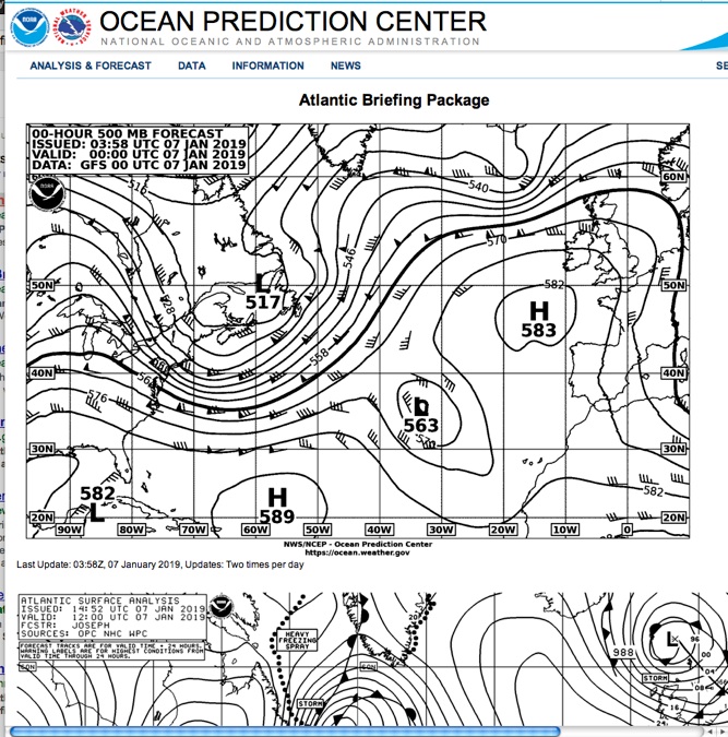
Go to https://ocean.weather.gov/shtml/A_brief.shtml for a briefing package showing the next four days of weather on surface and at 500mb pressure level (5250 meters high).
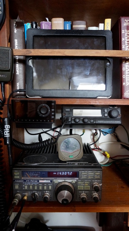
Weather Forecasting Book
Go to this page for where to download the Weather Book you will need.